Residential stock, surveyed roof by roof
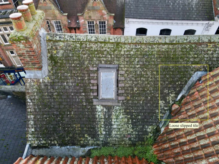
Whole estates and individual dwellings captured in a single flight: roof condition, thermal loss, elevation drawings and measured 3D models for retrofit, insurance and planning work — without ladders, scaffold or access disruption to residents.
Commercial estates, measured while they stay open
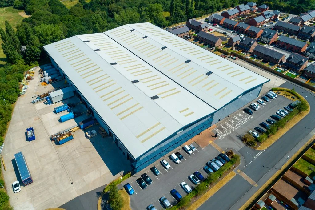
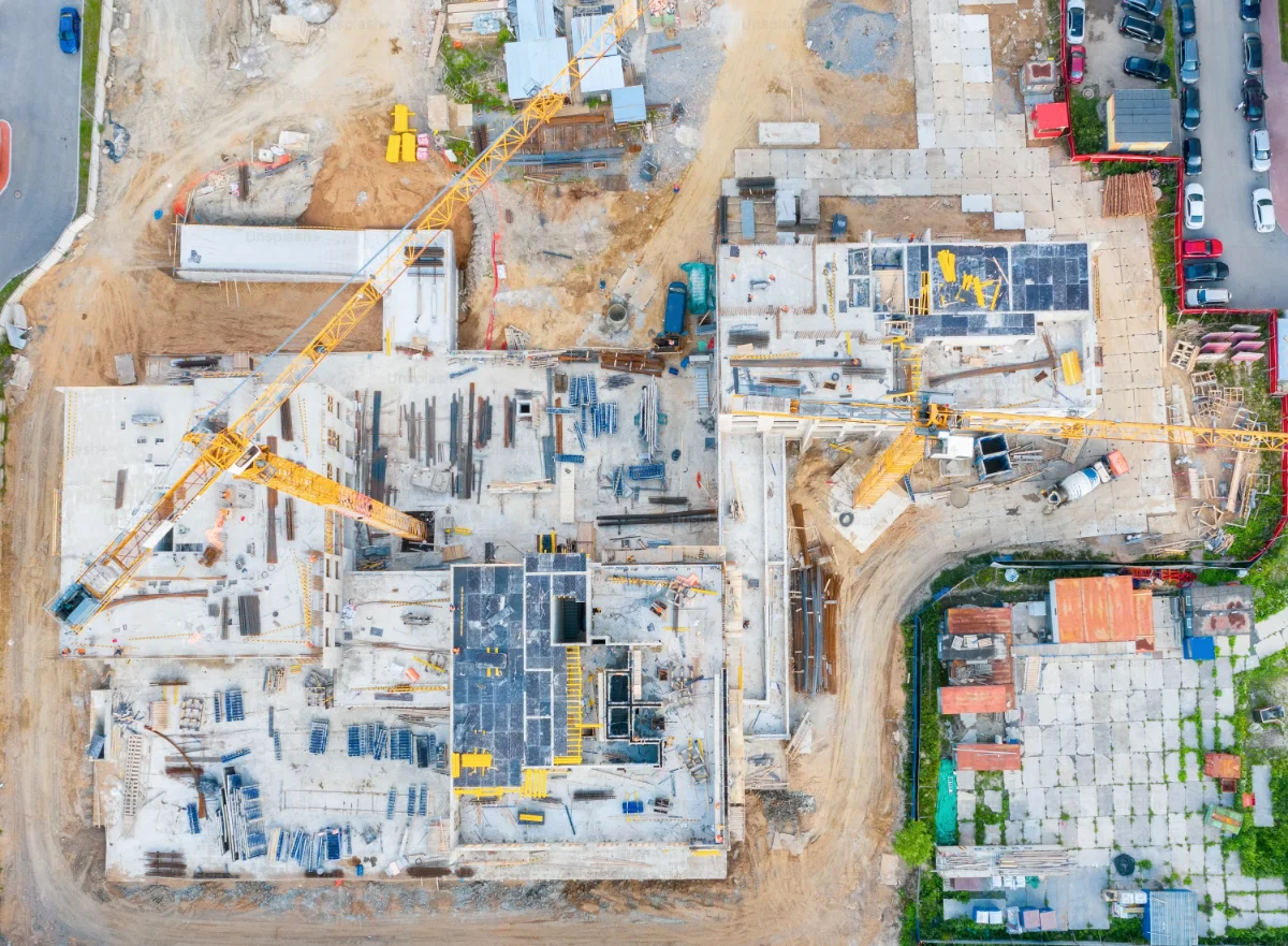
Warehouses, retail parks, office campuses and industrial yards captured without closing a loading bay or a car park. One sortie returns the roof condition record, the measured envelope and the stockpile or yard volumes your asset team needs to sign off.
The assets that keep those estates connected
Estate roads, service yards, bridges and retaining structures surveyed under live traffic.
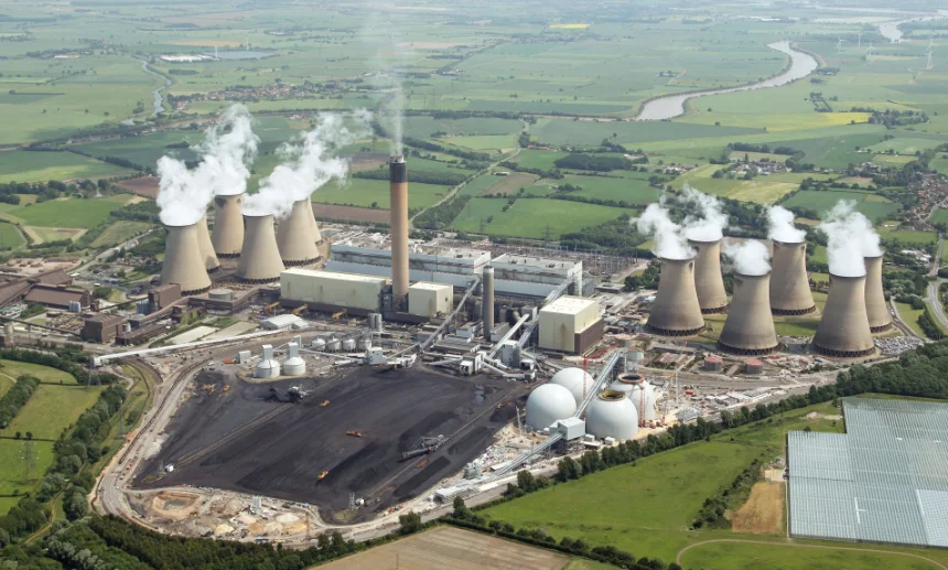
Substations, transmission runs, solar arrays and rooftop plant captured with thermal and RGB in one pass.
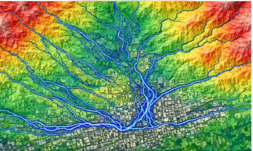
Terrain models for flood and runoff assessment, plus settlement monitoring across repeat flights.
Solar and wind farms inspected without downtime
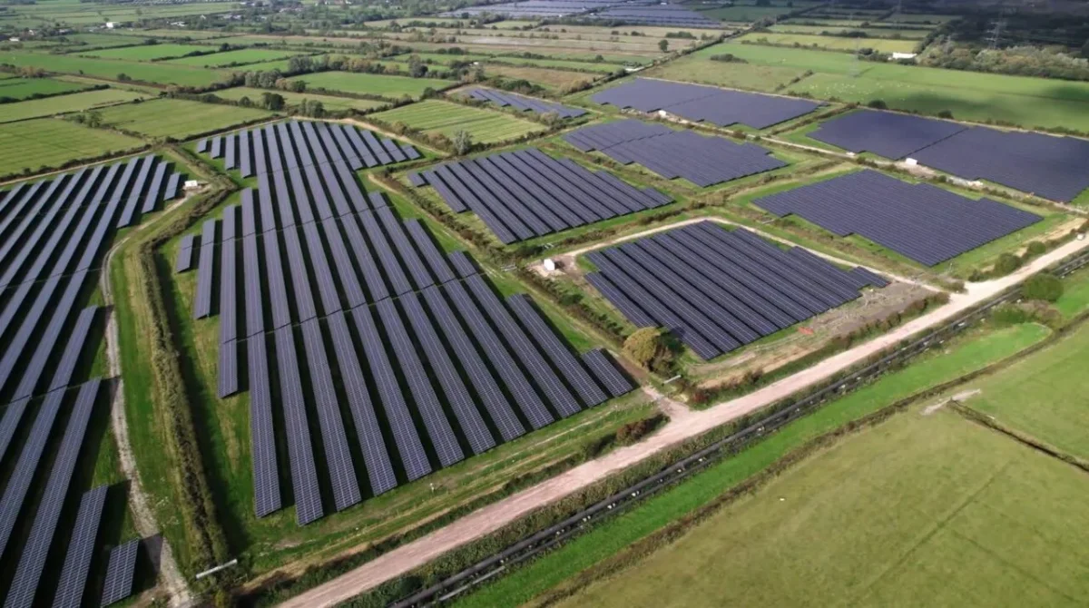
Whole-site thermal and RGB passes locate hot cells, string outages, cracked modules and soiling, mapped to module position so a maintenance team can walk straight to the fault. Repeat flights show performance drift row by row.

Automated blade, nacelle and tower inspection flown per turbine, with each defect indexed to blade, side and radial position. No rope access or platform, and the turbine is back in service the same day.
Know the site
before anyone
sets foot on it.
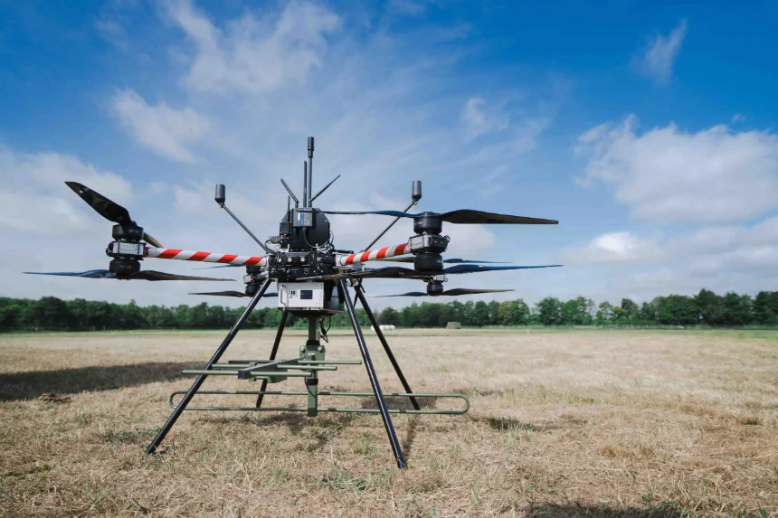
Surveying work that is dangerous, repetitive or simply out of reach should not depend on a person being physically present. We build the aircraft, the sensing payloads and the processing chain that turn a flight plan into a measured, three-dimensional record of a site.
READ MOREFour survey domains
Beyond the standard platforms we build custom airframes and payload integrations to a customer's specification — a particular LiDAR head, a multispectral array, or a purpose-built aircraft for one survey programme.
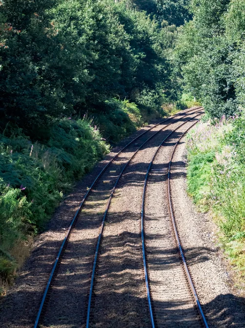
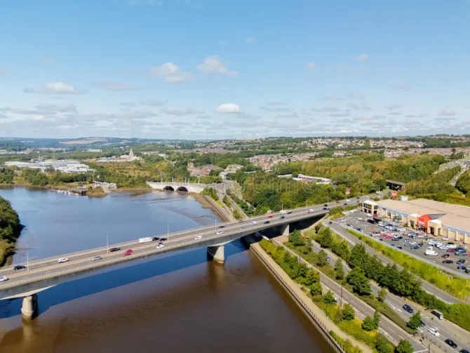
BVLOS corridor mapping of rail, road, pipeline and coastline, flown to a repeatable plan.
Bridges, transmission lines and plant structures reconstructed as measurable 3D models, without scaffolding.
Same-day orthomosaics and terrain models for responders assessing damage and access routes.
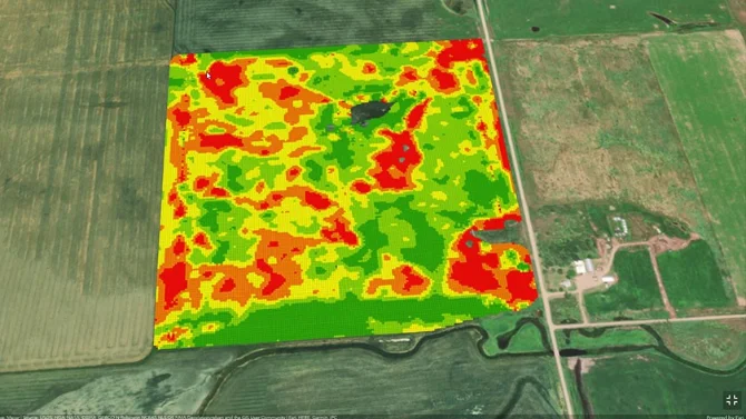
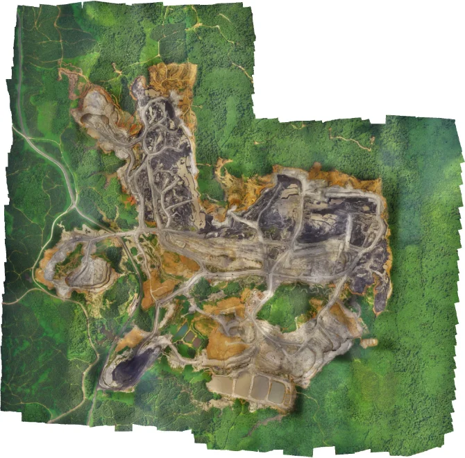
Agriculture, bathymetric and research survey, plus custom airframes and payload integration.
A flight control and sensor-fusion stack built in-house, so every frame and every laser return lands in the same coordinate frame.
Redundant navigation, terrain-relative positioning, PPK correction and a supervisory layer that flies repeat survey missions to the same line every time. Figures shown are illustrative placeholders pending verified programme data.
Flown by crews who have done this for a decade.
Every survey is flown by a licensed pilot with over a thousand logged hours, supported by a processing team that has handled the same site types since the programme began.
From flight line
to survey deliverable
LiDAR and photogrammetric payloads capture a site in a single sortie. Our processing chain returns georeferenced point clouds, digital surface and terrain models, orthomosaics and volumetric change reports in the formats your engineering team already uses.
REQUEST A SAMPLE DATASETQuestions we are asked before a first flight
If your question is site-specific, send us the location and the deliverable you need and we will answer directly.
How accurate are the deliverables? +
Accuracy depends on flight height, payload and ground control. With PPK correction and check points we work to survey-grade tolerances and issue an accuracy report with every dataset.
Do we need to close the site or evacuate residents? +
In most cases no. Flights are planned around occupied areas and live operations, with exclusion zones agreed in advance and managed by the crew on the day.
Can you survey a single house, or only whole estates? +
Both. A single dwelling is a short sortie; estates and portfolios are flown as one programme to a common standard so the results are comparable street to street.
Will the flight see into windows or neighbouring gardens? +
Flight lines and camera angles are planned for the roof and building envelope, and imagery outside the survey boundary is masked before delivery. We can supply a privacy note for resident letters.
Do residents need to be notified or at home? +
Nobody needs to be home and there is no internal access. We provide notice templates and a flight window in advance so housing teams can inform residents before the crew arrives.
Can a roof survey replace a scaffold or ladder inspection? +
For condition assessment and prioritisation, usually yes — the imagery resolves tiles, flashing and pointing at millimetre ground sample distance. Physical access is still needed for intrusive investigation or repair.
When can thermal heat-loss surveys be flown? +
Thermal work needs a temperature differential, so it is flown in the heating season, typically before dawn or after dusk in dry, low-wind conditions. We book those windows against the forecast.
How long from flight to delivered data? +
Imagery and orthomosaics are typically available within a day of capture; classified point clouds, models and volumetric reports follow according to site size and the processing scope agreed.
Which file formats do you issue? +
LAS and LAZ point clouds, GeoTIFF rasters, OBJ and textured meshes, IFC and CAD-ready exports. If your team works in something else, tell us and we will confirm before the flight.
Can you fly beyond visual line of sight? +
Corridor and long-route work is flown BVLOS where the operating authorisation for that airspace allows it. We confirm the permission route for your site as part of the survey plan.
Can you build a payload or airframe for our use case? +
Yes. We design and manufacture custom airframes and integrate third-party sensors where an off-the-shelf platform will not capture what a programme needs.
We are hiring survey and BVLOS pilots
Flying planned photogrammetric and LiDAR missions across housing, commercial and infrastructure sites, and owning data quality on the day.
Long-route corridor operations beyond visual line of sight, working with the operations team on airspace permissions and safety cases.
Current licences and logged command hours, survey or geospatial experience, and the judgement to call a flight off when conditions say so.
Registered office, operations control and data processing. Address on enquiry.
Engineering and payload integration, supporting flight test and custom builds.
Survey crews covering the south west and Wales, with equipment and vehicle base.
Tell us about the site you need surveyed
Whether it is one roof or a portfolio of sites, send the location and what you need to know. A surveyor replies with a flight approach, a permissions route and a price — usually within two working days.
Thank you — your enquiry is with the survey team.
We reply to every enquiry, usually within two working days, to the address you gave.